The site
Image credits
Every image here is either in the public domain or published under a Creative Commons licence that allows reuse with
credit. Each one names its author and links to its source page, which carries the full licence. None of them shows
a person.
-
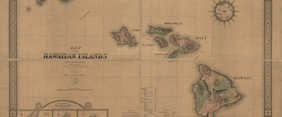
Map of the Hawaiian Islands, Library of Congress.
Giles, H. · Public domain · source page
Map of the Hawaiian Islands. LOC 2003627047.jpg
-
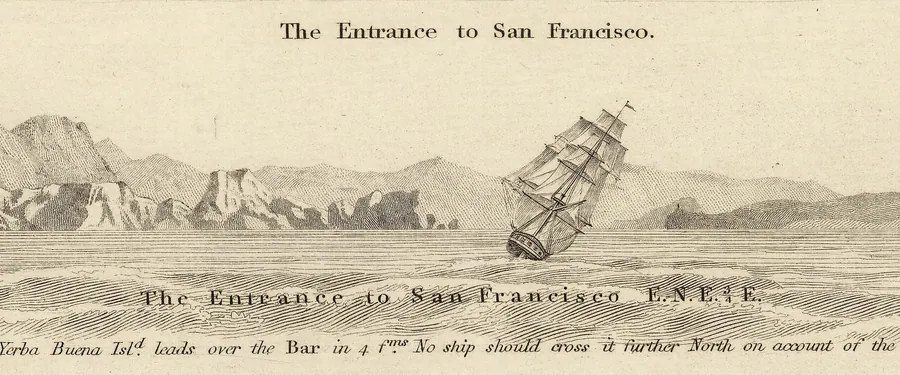
The entrance to San Francisco Bay, from Admiralty Chart No. 591, 1833. Marshall's Beach lies just inside it.
United Kingdom Hydrographic Office · Public domain · source page
View of the Entrance to San Francisco cropped from Admiralty Chart No 591 Habour of San Francisco, Published 1833.jpg
-
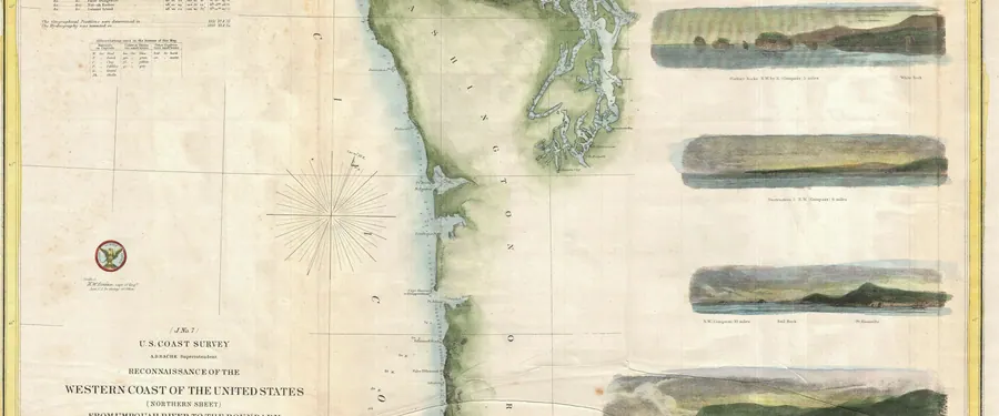
US Coast Survey map of Washington and Oregon, 1855. The listed beaches are on the Columbia River.
United States Coast Survey · Public domain · source page
1855 U.S. Coast Survey Chart or Map of Washington and Oregon - Geographicus - WashingonOregon3-uscs-1855.jpg
-
-
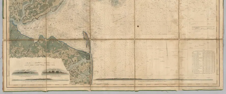
US Coast Survey map of New York Bay and Harbor, 1844 to 1845. Sandy Hook closes the bay to the south; Gunnison Beach is on it.
United States Coast Survey · Public domain · source page
Map of New-York Bay And Harbor And The Environs. Founded upon a Trigonometrical Survey under the direction of F.R. Hassler (IA dr map-of-new-york-bay-and-harbor-and-the-environs-founded-upon-a-trigonometr-1018001).jpg
-
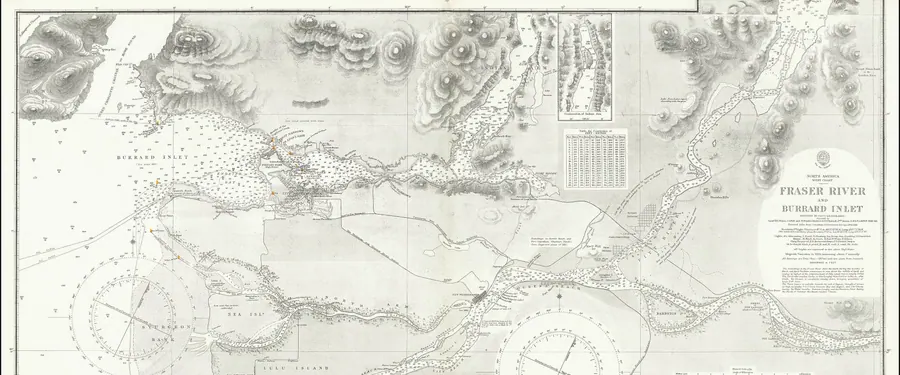
Admiralty Chart No. 1922, Fraser River and Burrard Inlet, 1860. Wreck Beach is on Point Grey, between the two.
United Kingdom Hydrographic Office · Public domain · source page
Admiralty Chart No 1922 Fraser River and Burrard Inlet, Published 1860.jpg
-
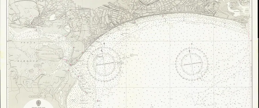
Admiralty Chart No. 2175, Poole Bay, 1957. Studland Bay is at its western end.
United Kingdom Hydrographic Office · Public domain · source page
Admiralty Chart No 2175 Poole Bay, Published 1957.jpg
-
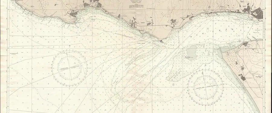
Admiralty Chart No. 3263, Approaches to Lisbon, 1964, which takes in the Costa da Caparica.
E.G. Irving · Public domain · source page
Admiralty Chart No 3263 Approaches to Lisbon, Published 1964.jpg
-
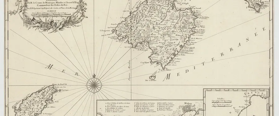
Jacques-Nicolas Bellin's chart of Majorca, Minorca and Ibiza, eighteenth century.
Bellin, Jacques-Nicolas · Public domain · source page
Carte des Isles de Maiorque Minorque et Yvice dediée a M. le comte de Maurepas... - Par N. B. (Nicolas Bellin) - btv1b53227041w (1 of 2).jpg
-
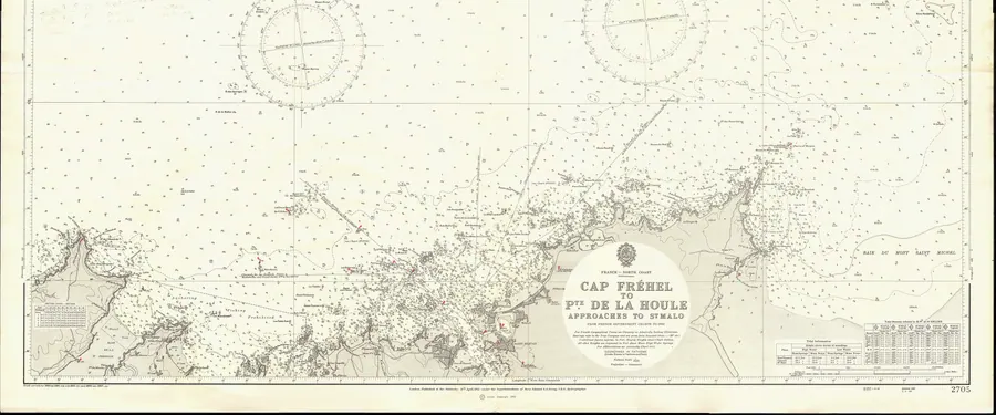
Admiralty Chart No. 2705, Cap Fréhel to Pointe de la Houle, 1962, which takes in Erquy.
E.G. Irving · Public domain · source page
Admiralty Chart No 2705 Cap Frehel to Pte. de la Houle, Published 1962.jpg
-
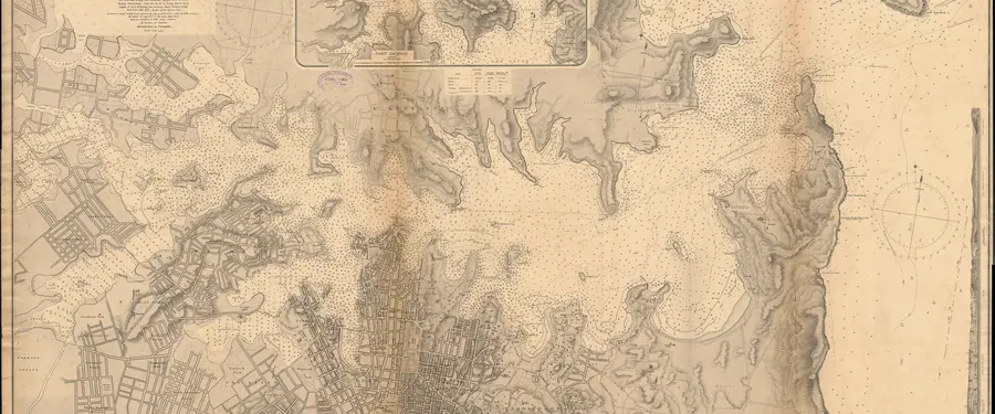
Admiralty Chart No. 1069, Port Jackson, 1890. Lady Bay Beach is inside South Head.
United Kingdom Hydrographic Office · Public domain · source page
Admiralty Chart No 1069 Port Jackson, Published 1890.jpg
-
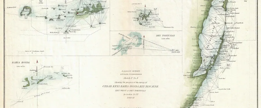
US Coast Survey map of Biscayne Bay and the Florida Keys, 1853.
United States Coast Survey · Public domain · source page
1853 U.S. Coast Survey Map of Key Biscayne Bay, Key West and the Cedar Keys, Florida - Geographicus - CedarkeysBahia-uscs-1853.jpg
-
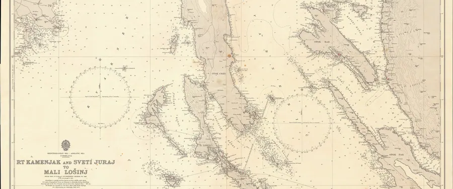
Admiralty Chart No. 202, Kamenjak and Sveti Juraj to Mali Lošinj, which takes in the island of Rab.
United Kingdom Hydrographic Office · Public domain · source page
Admiralty Chart No 202 Rt Kamenjak and Sveti Juraj to Mali Losinj, Published 1963.jpg
-
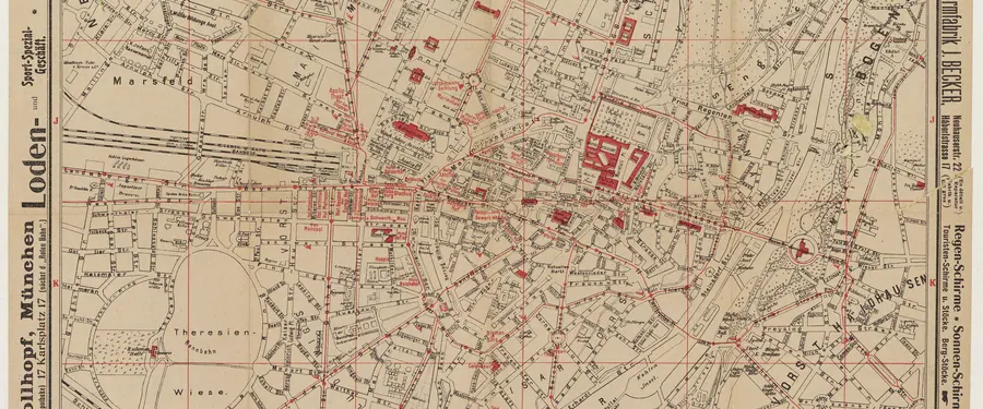
Plan de Munich, from the Bibliothèque nationale de France. The Englischer Garten runs along the Isar.
Bibliothèque nationale de France · Public domain · source page
Plan de Münich. - btv1b8446064z.jpg
-
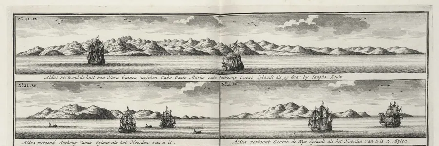
Coastal views of New Ireland, engraved for a Dutch chart. A coast pilot prints the land as a sailor sees it from the water.
Johannes van Braam / G. onder de Linden · Public domain · source page
AMH-7222-KB Coastal views of New Ireland.jpg
-
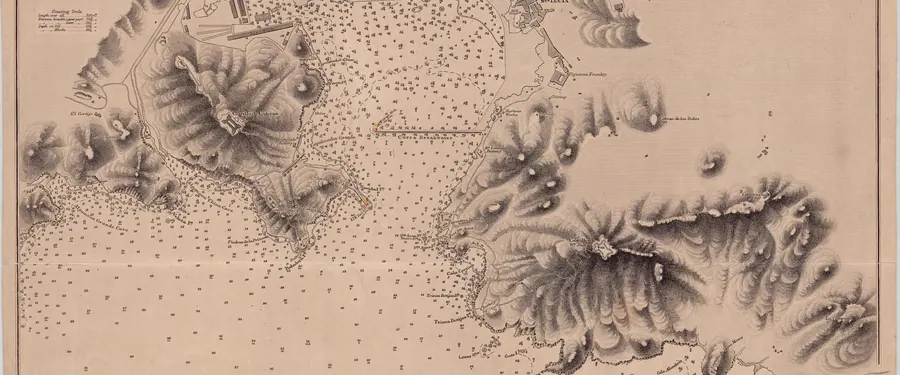
Admiralty Chart No. 1194, Cartagena Harbour, Spain, published 1884.
United Kingdom Hydrographic Office · Public domain · source page
Admiralty Chart No 1194 Spain south coast Cartagena Harbour, Published 1884.jpg


